Season Visited: Spring
Trail Length: Between 5 and 8.5 miles there-and-back, depending on where you camp and how long you stay on the side-trail to the falls and cave. In this review, I estimate we hiked about 5 miles total.
Time to Hike: 3 hours (an hour and a half each day)
Difficulty Level: 2. Side trail to waterfall and cave near camp is a very short .2 miles, but it is steep and I would rate the climb back up a 4.
My love for Shenandoah National Park cannot be overstated, as I think I have made clear on this blog. It seemed fitting that my first real backpacking trip would be at the park that houses my favorite hike, so that's where I went! I chose a short, easy hike with my husband for my first time sleeping outdoors anywhere other than a campground. It was everything I hoped it would be: quiet, lovely, and a perfect location for me to test my new backpacking gear and skills.
I found out about this trail combination through Shenandoah's wonderful trip planner, which I plan to use for pretty much all of my future backpacking excursions in the park. Be sure to get a free backcountry camping permit from the visitor center during office hours (9:00-5:00). The park staff are always friendly. They will ask you about your trip plans to be sure you are prepared, get a little info, and then send you on your way.
View from the Dickey Ridge Visitor Center, where you can get your permit if coming in from the North Entrance.
As stated on this useful itinerary, parking for the White Rocks trip is near mile marker 34, the Meadow Spring Area, on Skyline Drive. There isn't a ton of parking, but there's enough. You can see the parking area indicated on this map.
To begin the hike, head southeast on Hazel Mountain Trail from the parking area. You will be going downhill at a nice, gradual pace. Stay right when you come to the fork to stay on Hazel Mountain Trail. Every intersection is clearly marked by posts as well, so it's really quite difficult to get lost.
Sean on Hazel Mountain Trail in the late afternoon.
And me.
Eventually you will come to another intersection, with a small stream on your right. Turn left to begin on White Rocks Trail, which is, in my opinion, prettier and more interesting than the beginning of Hazel Mountain Trail. You only have a short while to go until you reach some lovely camping spots at the cave/falls junction.
Slight uphill section on White Rocks Trail.
It's easy to forget you're up pretty high!
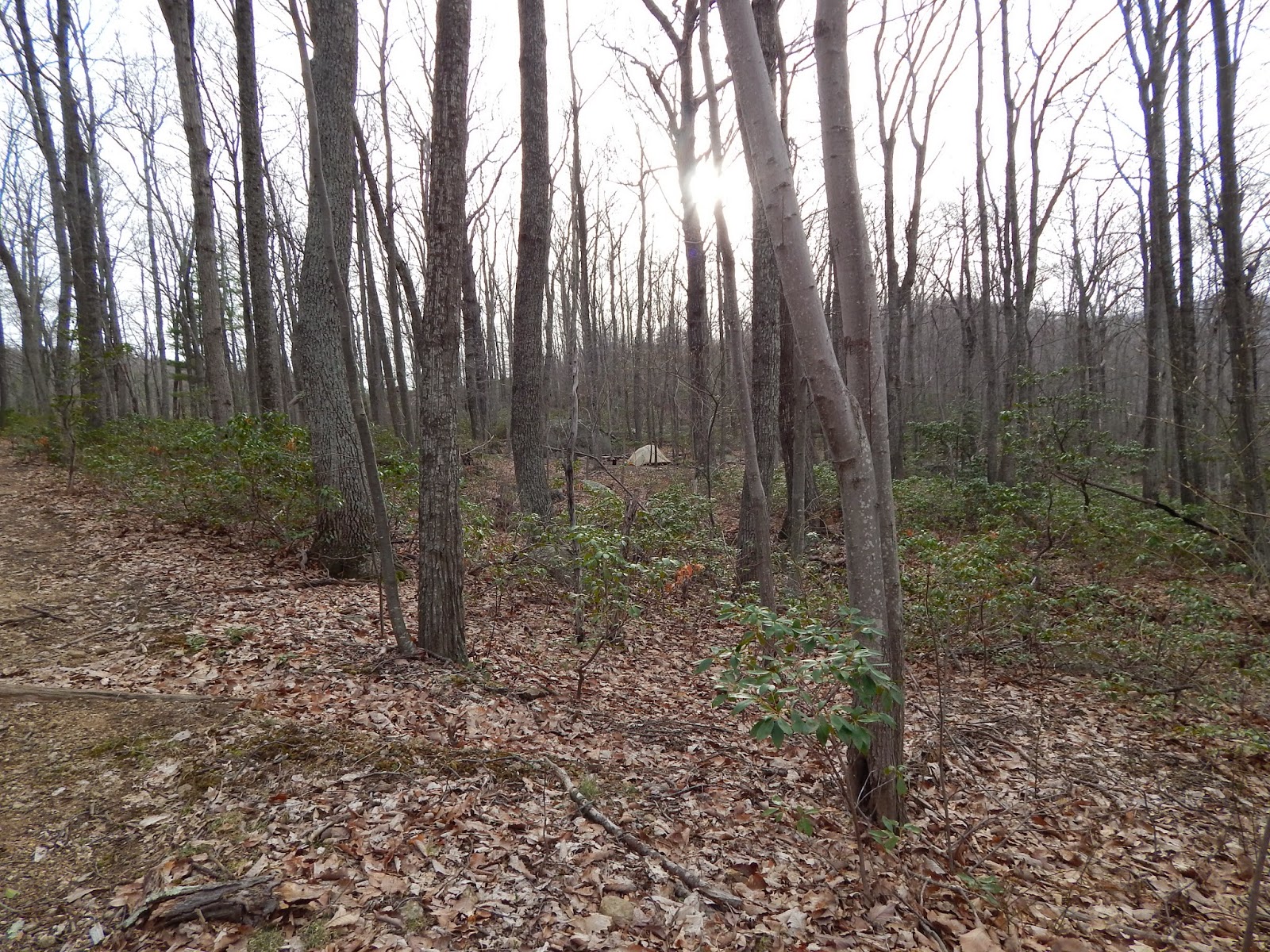
You can't miss the cave/falls junction, which is clearly marked by a post. White Rocks Trail continues in front of you, and the side trail (unmarked on the map) to the falls and cave is to your right. To your left, right past some brush and a boulder, are some nice camping spots. We set up camp before heading to check out the falls and cave.
Setting up camp in my new tent with my new sleeping bag :)
The trail down to the falls is short and steep. It's totally worth it, as the falls and cave are super fun to explore. The cave, as the ranger at Dickey Ridge said, is really just "a hole in the wall," but it's fun anyway.
Near the bottom of the falls.
The cave is up a very short ways, right next to the falls.
Exploring the falls is lots of fun!
At the top.
Slip around the boulders by the falls for crevices to play in.
When you're done at the falls, brace yourself for a steep (but very short) climb back to camp.
Heading up!
The evening spent at camp was really lovely in mid-April. With nobody around, everything was peaceful. Unfortunately I (yet again) underestimated how freaking cold it gets up there in the mountains at night, but I made it through!
Taking a walk a little further down White Rocks Trail after dinner. Campsite from the trail.
Sunset at camp.
Backcountry permit hanging from the tent, as instructed. Unfortunately I am the lightest sleeper known to man and took it off in utter frustration at the sound of it blowing in the wind in the middle of the night. I'll figure out a better method next time.
If you're anything like me, you'll be up at the crack of dawn the next day. After a quick breakfast, Sean and I were back on the trail before the sun was even fully up. I must say it looked even more beautiful in the morning light. The hike back is more uphill, but it's really no big deal. Just re-trace your steps and you'll be back to the parking area in no time!
White Rocks Trail in the morning.
Sun coming up at the intersection of White Rocks and Hazel Mountain.
Just after the fork almost back to the parking lot. Buck Ridge Trail to the right and Hazel Mountain to the left on that one.
#selfie
And that's it! If you're lucky, you might even get to see some Shenandoah deer on the way home. Oh, and don't forget to stop at those overlooks on Skyline Drive! They never get old.
I'm just saying, I'm proud of this really nice deer picture.
How can you not love Skyline Drive?
Enjoy your hike, and keep wandering :)
Pinterest


No comments:
Post a Comment