Showing posts with label New Jersey. Show all posts

Wednesday, March 30, 2016

Mt. Minsi

Location: Delaware Water Gap, Pennsylvania
Season Visited: Summer
Trail Length: 3 miles there-and-back
Time to Hike: 2.5 hours
Difficulty Level: 3

Right after my trip to Glen Onoko Falls last summer I wound up in Pennsylvania again at one of my favorite hangouts: the Delaware Water Gap.  Instead of hiking Mt. Tammany like I always do, however, I decided to take on the opposite side of the same coin: Mt. Minsi!

This hike follows the Appalachian Trail both up and back, but you can make a loop of it if you want by following the fire road.  All of your options can be found on this map.  Either way, you're starting at the Lake Lenape parking area, which is actually pretty difficult to find compared to the hard-to-miss parking areas on the Jersey side.  The GPS coordinates are 40.979754 -75142189.  The parking area is kind of overgrown, but if you follow the road up to the right you'll see the trail head and AT sign, which lets you know you're in the right place.

The first interesting thing you'll see on the trail is cute little Lake Lenape, filled with water lilies this time of year.


After that is an adorable cascade.  It's very private and surrounded by rhododendron.  There's not much room to enjoy it because the trail here is very narrow and crosses over the stream, but it's sweet to look at as you go by.


The trail around here is very muddy, but it dries out as you start to gain elevation.  Shortly you come to an overlook, marked on the map at about halfway up the mountain.  This gives you a view of the Delaware River and Mt. Tammany as you stare across state lines from Pennsylvania to New Jersey.  There was a ridiculous amount of tiny butterflies on the day I went; they were literally swarming all over the place.  Not sure if that's a regular occurrence or if I just got lucky!  Sadly they were so little that I really couldn't get any kind of decent photo of them.


On the day I went I saw many people stopping and then turning around at this overlook.  Not sure if they thought it was the top or just didn't want to hike the rest of the way.  Keep in mind that this is only the halfway point.  The hike gets steeper and rockier from here as it leads first to a lookout very near the summit and then to the true summit, marked by a little sign.  The true summit is indeed less grand than the "false summit," but I never like to hike a mountain without saying I got to the very top!

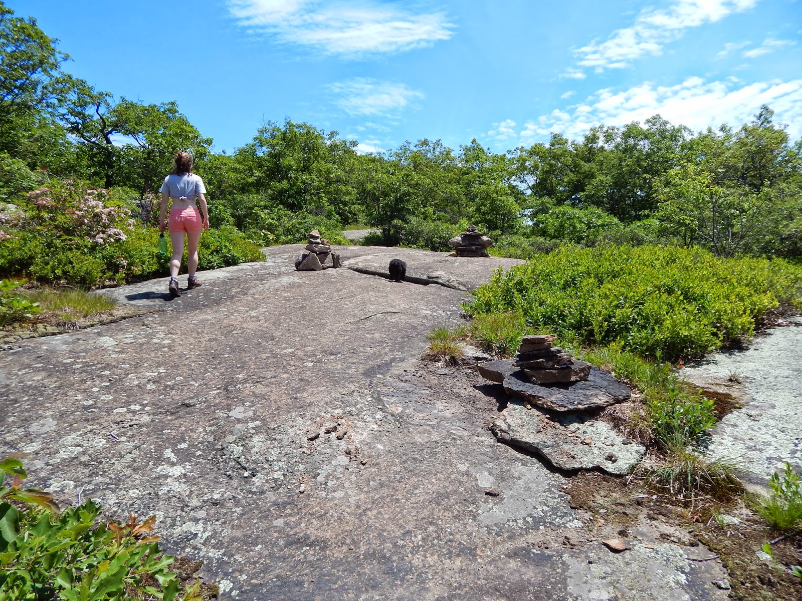
Cleo the hiking yorkie-poo is at it again!


View of Mt. Tammany.

Mission accomplished!
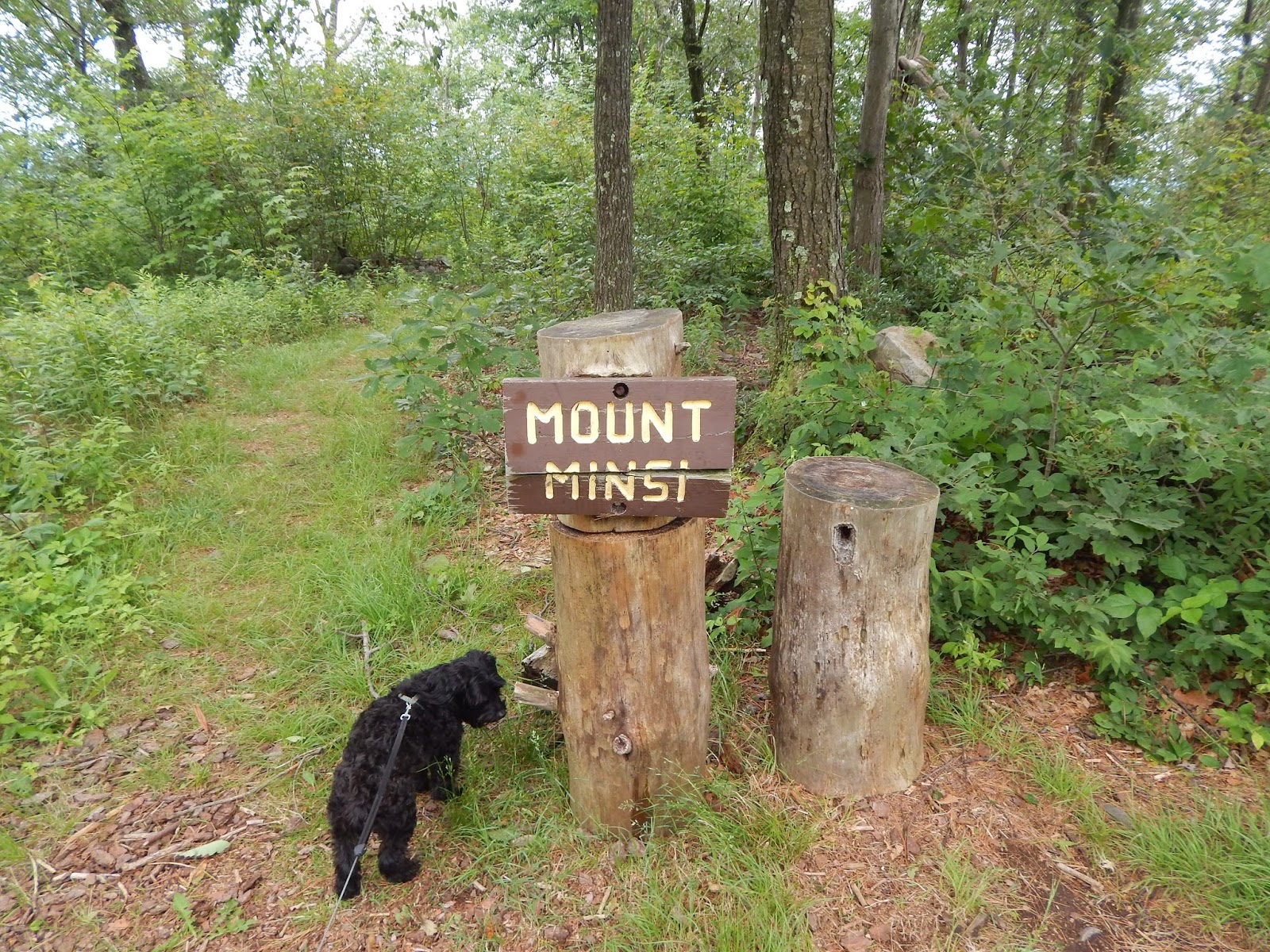
The "true summit."

Just like at the overlook, many people stopped and turned around at the view of Mt. Tammany.  Only a small handful of people felt like going to the top of Minsi, but it really isn't that much farther.  Like I said, I always find that sense of accomplishment worth it.

Once you've reached the "Mount Minsi" sign, there's nothing to do but re-trace your steps (or follow the fire road, if you like).  Now that I think about it, I actually think the reason I didn't take the fire road was because what looked like an entire summer camp worth of children (literally, it was a summer camp) was also on the fire road.  So if my memory serves, I quickly hopped from the very beginning of the fire road back onto the AT after remarking to a camp counselor (for which I have infinite sympathy, being myself a camp counselor for something like 10 out of the last 12 summers of my life) that the children would "certainly sleep well tonight."  I believe she responded with something along the lines of, "That's the idea."

Coming back down offers a perspective entirely different from going up.  I'm often surprised at how much I miss by not looking back when I hike.  I generally only do it when I feel that twinge of paranoia about who (or what) is following me.  Maybe I'll need to get into the habit, for views like some of those below.  In addition to the views, I saw some pretty cool wildlife!  I always love seeing snakes, in particular.

Last view of Tammany on the way back down.

A rather large snake friend!
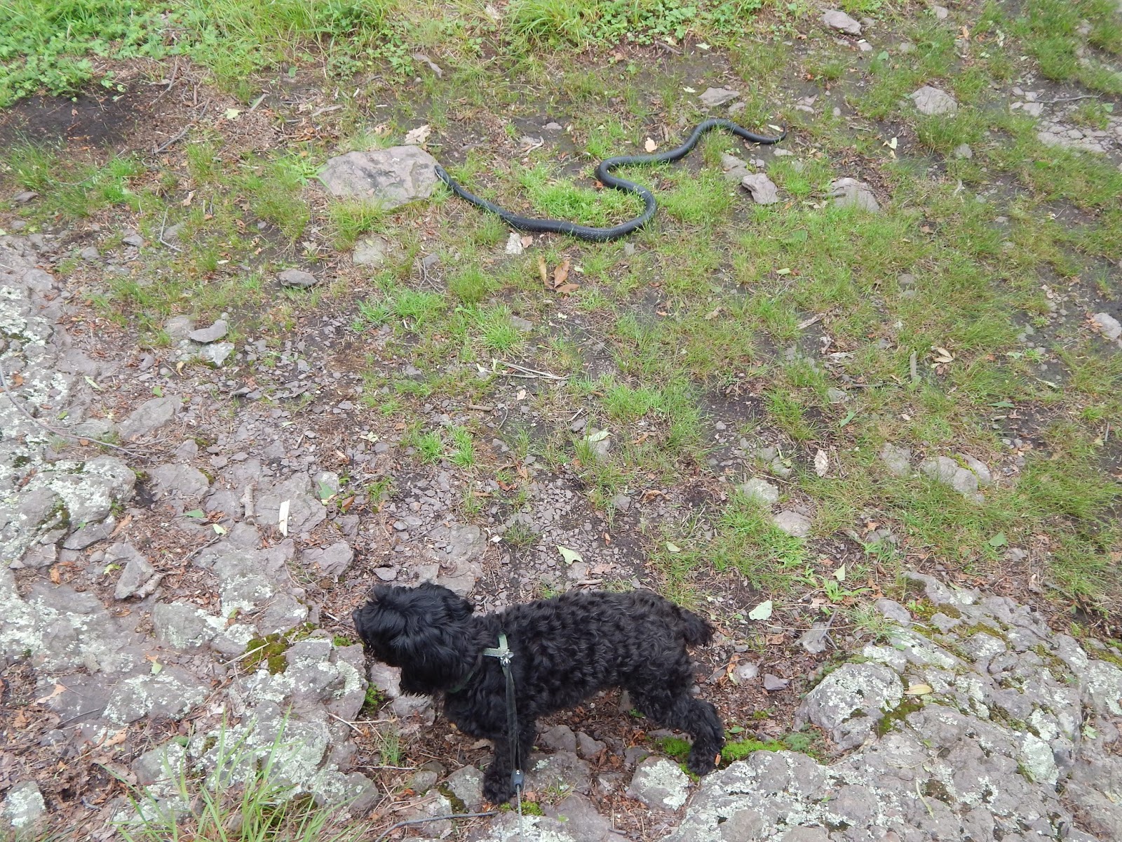
Cleo the Oblivious.


Helpful.

Aww chipmunk.

And that is it!  The trail is straightforward because it's the AT, which is pretty much always easy to follow.  If you're in the mood for a hike, it's always a good idea to find yourself on the Appalachian Trail.  Keep on wandering!

Monday, June 23, 2014

Hewitt Butler Trail to the Stone Living Room (and a little AT)

Location: Norvin Green State Forest, Bloomingdale, NJ (Hewitt Butler Trail) and Wawayanda State Park, Hewitt, NJ (AT)
Season Visited: Summer
Trail Length: According to the official website, Hewitt Butler Trail is 5.5 miles.  If you're just going to the Stone Living Room, I estimate the distance to be 1.5 miles, there-and-back.  This is nothing more than an estimate based on my hiking time.  It could be a little less.  The section of the AT mentioned is about 1 mile there-and-back, estimated.
Time to Hike: 1 hour for the Hewitt Butler Trail, 30 minutes for this small section of the AT.
Difficulty Level: Hewitt Butler Trail to Stone Living Room - 3; AT - 1.

My sister Sara and I went on a summer solstice hiking trip this past weekend to New Jersey's own Stonehenge, the mysterious Stone Living Room.  This legendary site of Weird NJ fame has been on my sister's bucket list since we first lost ourselves in the sacred pages of our hardcover Weird NJ book, so we decided to make like pagans and worship the sun at the ancient shrine built by unknown stonemasons that has been overlooking a perfect view since maybe the 1990s (no one seems to know for sure when it was built).  This was more difficult than it sounds, because there are no clear directions to the trailhead.  After much internet research on shady-looking websites, my sister and I set GPS coordinates to somewhere along Glenwild Avenue and went from there, knowing that we had to look for a blue sign that said "Welcome to Bloomingdale" and then cross the street to find the blue blazes.  Fortunately we made it just fine, and the result was a very rewarding trip to this awesome "living room."

If you plan to make this trip, know that parking is limited.  Also, be sure to cross the street from the parking area where the Welcome to Bloomingdale sign is.  We saw a number of people go down the wrong trail looking for the Stone Living Room before we ourselves found out where we were.  You are looking for blue blazes on a narrow, rocky trail that almost immediately goes uphill.

Cleo the hiking yorkie-poo is ready for more adventures this summer!

Once you've navigated parking and finding the trail, the lovely surroundings should help you to forget the madness you just endured.  As I have found is typical amongst North Jersey trails, they are really rocky and surprisingly beautiful for being in the part of the state that gives Jersey a bad name.  You will see interesting boulder formations and maybe even some wildlife in the initial forested section of the trail.

Gypsy moth caterpillar.

Boulders.


It was hotter than expected, and we worked up a sweat!

Soon the forest gives way to boulders and lovely views.


A little ways past these cairns is the Living Room!  You have to look off-trail, a little to the right I l believe, so be sure to keep your eyes open so you don't miss it!  I read a few accounts on the internet of people passing it, but you really shouldn't have a problem as long as you're looking.

View from the Stone Living Room, with half of the Living Room shown to the side.


The complete set of chairs.

The armchair/throne.


Nothing is forever.


Be sure to spend as much time as you want enjoying the chairs and the view.  There's a fire pit here (with lots of beer bottles in it), but it's probably less-than-wise (and maybe also illegal) to build a fire.  Still, this is a great place for lunch!

All that's left to do when you're done, of course, is to head back down!  It's an easy descent, just watch for toe-stubbing rocks.


This could be the end of your hiking adventure, or you could do what Sara and I did and head to the Appalachian Trail.  It's all over the place up here, but I headed 30 minutes to Wawayanda State Park due to my familiarity with the trail there.  Parking for this particular section is on Warwick Turnpike around these GPS coordinates: N41.12054, W74.23298.  There is a little more roadside parking here and it's not quite as popular, so you should be fine arriving any time of day.  The AT is on both sides of the road, so make sure you're going south-bound if you plan to camp where we did.  If you're coming from Bloomingdale, this will be on the left side of the road.

The trail starts out grassy and flat, then crosses next to Parker Lake before coming to the AT shelter in Wawayanda State Park.  There are lots of places to camp here, which is another reason why I chose this location.  There were some thru-hikers near the shelter, so my sister and I camped on the other side of the trail, opposite the shelter but still within walking distance of the privy (which we discovered only after we peed in the woods, conveniently).  Overall it's a very nice little place to spend the night, although you can still occasionally hear cars and jets (and, on this particular night, also fireworks/gunshots?).  It's super easy to get to, and you can walk a little before calling it a night and see the sights or talk to the other hikers who congregate here.

AT south-bound, right off the road.

Midday nap with the Cleo <3

The shelter is off to the right side of the trail.  We passed by it at first and then noticed the blue shelter signs.

After setting up camp, we came back to look at Parker Lake.


"I'm ready to sit, Mommy."

A little after the shelter, when we stopped our evening walk and decided to go back to camp.

Summer solstice sun setting.

Salamander at camp!

And that's it!  Head back in the morning and reflect on your time at an ancient(ish), sacred (not really) stone monument and your time on the trail dreams are made of.  Enjoy it, and keep wandering.