Location: Piscataquis County, Maine
Season Visited: Summer
Trail Length: 4 miles there-and-back
Time to Hike: 3-4 hours
Difficulty: Moderately strenuous
Big Spencer Mountain is an exciting hike near Greenville, Maine. My husband and I arrived there via the dirt roads past Kokadjo, and if you know anything about those roads you know they are notoriously labyrinthine and strange, with next-to-no helpful road signs and gigantic logging trucks that come barreling toward you out of nowhere. To me, the mountain's remoteness is part of its charm, evoking a bygone era of exploration that is usually hard to recapture on the east coast. I am in love with this area of Maine and was dying to summit Big Spencer, which I had been staring at from across Moosehead Lake on vacation for many years. Seeing pictures of the old ladders on the internet piqued my interest.
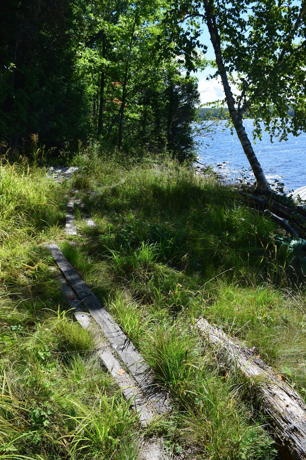
The hike features a steep ascent pretty much the entire way. The first half of the ascent is on a woods road that isn't too difficult, but the second half is exceptionally rocky, featuring a few small boulder scrambles and the fun (scary) ladders. Before the start of the rocky section there is a clearing with nice views and a fire pit.

Woods trail ascent.

Clearing.

Ladder.
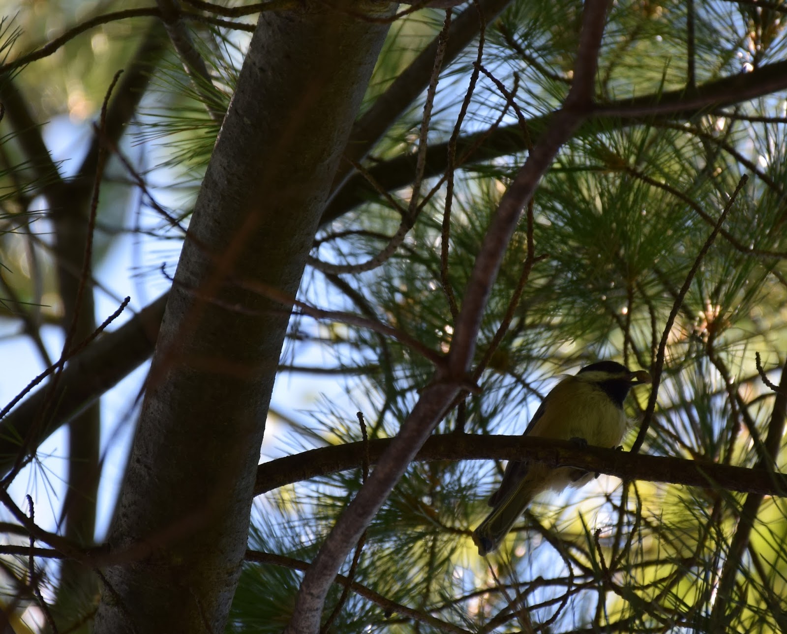
There are occasional views through the trees in the rocky section, and near the summit there are wild blueberries.


The summit features some impressive views, but there is also communication equipment up there that mars the general aura. But there is a nice little platform to rest!

View from the summit.

The way back down is the same as going up. I walked ahead of Sean for awhile and had an amazing experience seeing an entire family of ruffed grouse cross the trail right in front of me. A mother was leading a huge number of chicks, something like 10 of them if I remember correctly. They were so close to me that I didn't dare take out the camera to capture them, although I've always regretted not be able to do so. I froze and watched them for a good two minutes until they were out of sight. Moments like that always remind me why I love to hike. These moments in nature are the closest we get to experiencing something like magic.
Overall I absolutely recommend this hike to the experienced hiker. It is certainly a strenuous hike, and the hike down the rocky terrain is a bit treacherous. As far as solitude is concerned this mountain is amazing. Sean and I did not see one other person during the hike. Having an entire mountain to yourself is a dream come true for the hiker who wants to avoid seeing other hikers! Even in peak season the mountain was clear (although it was a week day). If you ever find yourself in this region of Maine, I suggest asking for directions in the outdoor shop in Greenville as their information about the roads will be the most up-to-date. Get out there and happy hiking!