Wednesday, March 30, 2016

Mt. Minsi

Location: Delaware Water Gap, Pennsylvania
Season Visited: Summer
Trail Length: 3 miles there-and-back
Time to Hike: 2.5 hours
Difficulty Level: 3

Right after my trip to Glen Onoko Falls last summer I wound up in Pennsylvania again at one of my favorite hangouts: the Delaware Water Gap.  Instead of hiking Mt. Tammany like I always do, however, I decided to take on the opposite side of the same coin: Mt. Minsi!

This hike follows the Appalachian Trail both up and back, but you can make a loop of it if you want by following the fire road.  All of your options can be found on this map.  Either way, you're starting at the Lake Lenape parking area, which is actually pretty difficult to find compared to the hard-to-miss parking areas on the Jersey side.  The GPS coordinates are 40.979754 -75142189.  The parking area is kind of overgrown, but if you follow the road up to the right you'll see the trail head and AT sign, which lets you know you're in the right place.

The first interesting thing you'll see on the trail is cute little Lake Lenape, filled with water lilies this time of year.


After that is an adorable cascade.  It's very private and surrounded by rhododendron.  There's not much room to enjoy it because the trail here is very narrow and crosses over the stream, but it's sweet to look at as you go by.


The trail around here is very muddy, but it dries out as you start to gain elevation.  Shortly you come to an overlook, marked on the map at about halfway up the mountain.  This gives you a view of the Delaware River and Mt. Tammany as you stare across state lines from Pennsylvania to New Jersey.  There was a ridiculous amount of tiny butterflies on the day I went; they were literally swarming all over the place.  Not sure if that's a regular occurrence or if I just got lucky!  Sadly they were so little that I really couldn't get any kind of decent photo of them.


On the day I went I saw many people stopping and then turning around at this overlook.  Not sure if they thought it was the top or just didn't want to hike the rest of the way.  Keep in mind that this is only the halfway point.  The hike gets steeper and rockier from here as it leads first to a lookout very near the summit and then to the true summit, marked by a little sign.  The true summit is indeed less grand than the "false summit," but I never like to hike a mountain without saying I got to the very top!

Cleo the hiking yorkie-poo is at it again!


View of Mt. Tammany.

Mission accomplished!
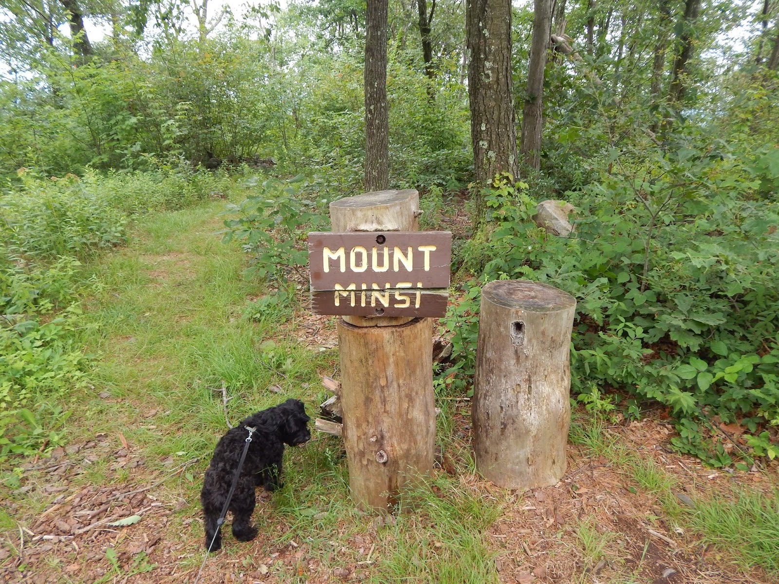
The "true summit."

Just like at the overlook, many people stopped and turned around at the view of Mt. Tammany.  Only a small handful of people felt like going to the top of Minsi, but it really isn't that much farther.  Like I said, I always find that sense of accomplishment worth it.

Once you've reached the "Mount Minsi" sign, there's nothing to do but re-trace your steps (or follow the fire road, if you like).  Now that I think about it, I actually think the reason I didn't take the fire road was because what looked like an entire summer camp worth of children (literally, it was a summer camp) was also on the fire road.  So if my memory serves, I quickly hopped from the very beginning of the fire road back onto the AT after remarking to a camp counselor (for which I have infinite sympathy, being myself a camp counselor for something like 10 out of the last 12 summers of my life) that the children would "certainly sleep well tonight."  I believe she responded with something along the lines of, "That's the idea."

Coming back down offers a perspective entirely different from going up.  I'm often surprised at how much I miss by not looking back when I hike.  I generally only do it when I feel that twinge of paranoia about who (or what) is following me.  Maybe I'll need to get into the habit, for views like some of those below.  In addition to the views, I saw some pretty cool wildlife!  I always love seeing snakes, in particular.

Last view of Tammany on the way back down.

A rather large snake friend!
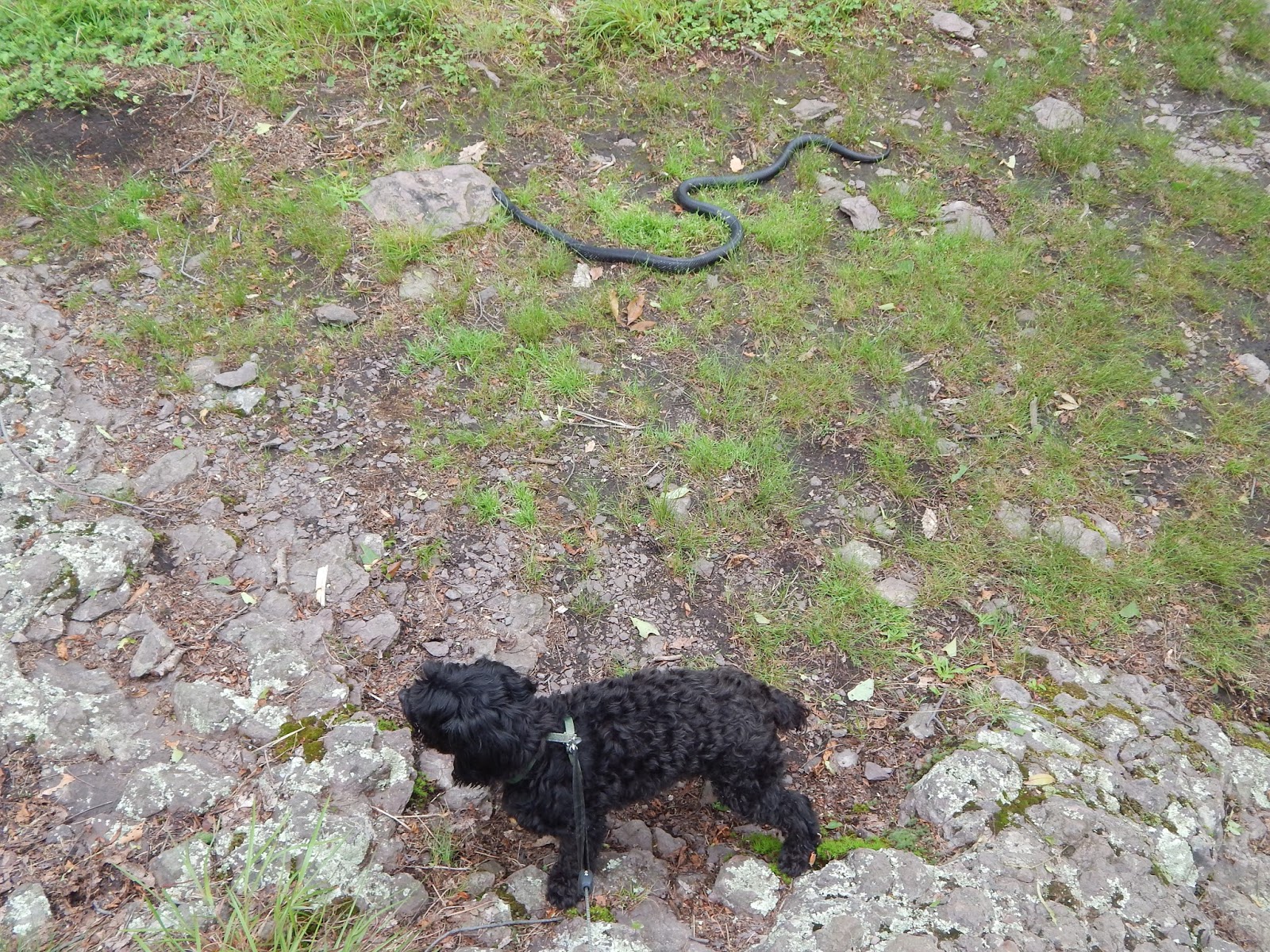
Cleo the Oblivious.


Helpful.

Aww chipmunk.

And that is it!  The trail is straightforward because it's the AT, which is pretty much always easy to follow.  If you're in the mood for a hike, it's always a good idea to find yourself on the Appalachian Trail.  Keep on wandering!

Sunday, March 20, 2016

Glen Onoko Falls

Location: Lehigh Gorge State Park, Pennsylvania
Season Visited: Spring
Trail Length: 5.9 miles there-and-back
Time to Hike: 4 hours
Difficulty Level: 4

Right before last year's summer solstice I went with some friends to check out the Glen Onoko Falls trail in PA.  The trail has a similar feel to the Ricketts Glen Falls Trail but is lesser known and therefore less crowded.  Always a plus!

The hike begins in a parking area with these GPS coordinates: 40.883555 -75.760422.  The problem with this trail is that it's very difficult to find a map, so I don't have one to show you.  If you go you'll just have to have a sense of adventure.  My friends and I took a wrong turn a few times on the trail, but eventually found our way to the lovely waterfalls.

The Glen Onoko Trail sign is almost exactly the same as the one at Ricketts Glen.

At the start of the trail the difficulty level is easy.  It passes under some railroad tracks and offers some interesting graffiti, as well as a view of a lake.

Didn't think you'd see Batman on this hike, did you?


The trail then takes a short but steep climb up to where the waterfalls begin and turns quite a bit rockier than before.  Fortunately, you are rewarded with lovely waterfall views in rapid succession.


On a warm day, it is basically impossible not to take a dip!


Past this fun waterfall (the first "big one") is another, this one much taller than the one before.


The trail goes up and around the waterfall to the right, taking you directly passed the main body of the falls.  This is an excellent photo op!


The trail then leads you to the top of the falls.  On the way, you will pass a series of interesting cairns and wind around the rocks.  At the top is an absolutely amazing view, but beware - you will have to break some rules if you want to see it.  At least on the day I went, the view from the top was roped off.  It is exceptionally slippery and it's easy to see how one could take a fall - with fatal results.  In fact there is a ghost story about the top of this waterfall, rather like a tragic Pocahontas story.  The tale goes that a young Native American princess fell in love with a white man who settled in the area.  When the love was discovered by her father, he had the man thrown off the top of the waterfall.  His daughter, overcome by grief, jumped off to join her lover in death.  The daughter's name was Onoko, giving the glen its name: Glen Onoko.

Cairns.

Winding around.

Just beyond the ropes at the top.

A relaxing spot worth breaking the rules for.

Above this waterfall is yet another beautiful cascade, this one surrounded by trees and rhododendron.  It seems that with every uphill step you take on this hike you come across another waterfall, until it suddenly ends.


Looking down.


After this last cascade the trail veers right and takes you into a pretty forest filled with undergrowth.  It looks like a bear's paradise, and those I was travelling with were far more anxious than I was about the possibility of meeting one.  We therefore hiked quickly to the end of the trail, simply staying to the right when presented with a fork.  The way down is less interesting, unless you count this millipede as exciting.  But I'm pretty sure that's just me.


And that's the trail!  Overall, I thought this trail was lovely and would definitely do it again, especially when in the mood for a waterfall swim.  My only reservation is that information is hard to come by, and I dislike not having a reliable trail map.  But it's (relatively) close to home for me, so I'm sure I'll be back!  Keep on wandering, friends.

Tuesday, September 1, 2015

Neighbor Mountain

Location: Shenandoah National Park, Virginia
Season Visited: Spring
Trail Length: Estimated 10 miles there-and-back, about 5 miles each day for two days
Time to Hike: 2 days
Difficulty Level: 2 on Day 1 (mostly downhill) and 4 on Day 2 (hiking back up)

Back in May I completed an accidental hike of Neighbor Mountain.  I say "accidental" because it was only due to a navigation error on my part that I ended up on this trail!  I meant to complete this hike, but a few intersections on the trail were overgrown and confusing, so my husband and I, along with Cleo the hiking yorkie-poo, ended up realizing our mistake two miles into the wrong trail.  The trail was so lovely, however, that we just kept going!  Although I had never been to the Neighbor Mountain trail, my map told me that it connected to Jeremy's Run Trail, and I remembered reading somewhere-or-other that backcountry campsites were abundant there.  So that's where we went, and, given that we had a spectacular time, the accident turned out to be quite fortuitous indeed.

We began our hike around mile 27 of Skyline Drive, in the Neighbor Mountain parking area.  Neighbor Mountain trail runs parallel to the Appalachian Trail for a short time, and then breaks off to both the left and the right!  Very confusing.  Apparently we went right when we should have stayed left, although given that I didn't know I was going the wrong way, I am only assuming that that is when we made our mistake.  Regardless, if you want to do what we did, I guess you stay to the right!  This keeps you on Neighbor Mountain trail, where you climb very slightly to the summit of the mountain.  The hike is moderately easy and there is not much scenery besides the tunnel of green.  Just FYI, I have never been to Shenandoah in May without seeing a bear, and this trip was no exception.  We saw a bear from our car on Skyline Drive before beginning this hike (sorry no picture this time!), and then heard what sounded very much like a bear right around the summit of Neighbor Mountain on both Day 1 and 2.  You should know this anyway, but always keep bear rules in mind when you hike in Shenandoah.  Hang your food, show no fear, and for the love of Mother Nature - DON'T RUN if you see a bear.

Cleo on Neighbor Mountain Trail.

Cleo: Did I hear a bear?!?!?! 

Post marking the summit of Neighbor Mountain.  Neighbor Mountain Trail totals 4.6 miles.  From the parking area, I estimate about .4 miles, which is how I'm getting the 5-mile total distance for this trail.  You also have to walk a very short distance on Jeremy's Run for the abundant campsites.

As the post indicates, once you reach the summit of Neighbor Mountain you have 2.6 miles to go until you reach Jeremy's Run.  This section of the trail is extremely enjoyable.  For starters, it is pretty much entirely downhill, which is always a plus in my book.  There is also a gorgeous section of mountain and valley views as you scale the lower ridges of Neighbor Mountain, leading to the wooded streams of Jeremy's Run.  I adore Shenandoah in May because everything seems to be alive.  The trees, flowers, bears, butterflies - everything has finally shaken off the last of winter's chill.


Hey!  No smartphones allowed in the wilderness :P


The water of Jeremy's Run.

Once you reach Jeremy's Run, all you have to do is find a campsite.  Paradoxically, this can be both difficult and easy.  It's easy in the sense that the ground is level and campsites are easy to spot; there are many large, preexisting sites.  It can be difficult, however, because Jeremy's Run is a very popular place to camp.  There were numerous families with large camping setups at the very beginning of Jeremy's Run.  Thankfully, Sean and I found a "secret spot" by the stream.  It must have been one of the lesser-known sites in the area, because we had to cross the stream to enter it as well as climb over some large fallen branches and pick our way through some stinging nettle (which I swear looks completely different in Virginia than it does in Jersey/Pennsylvania, or at least that's what I'll keep telling myself so I don't feel totally stupid for getting like four different nettle rashes on my legs).  I'm also not 100% positive that the site was legal.  It was kind of pushing the 10 yards from a stream rule and there was a fire ring (which of course we did not use because NO FIRES IN THE BACKCOUNTRY, DUH), buuuuuut it was pretty darn close and so secluded and nice that we just had to stay there :)

Sean before we set up camp.

Stream by our campsite.

It was SUCH a beautiful day/night, that the rainfly was not needed.

The night we spent at Jeremy's Run was perhaps the nicest and most comfortable night I have ever spent backpacking.  The weather was completely perfect.  The site was level and listening to the soft stream was exceptionally relaxing.  I fully intend to camp here again.

The next day is the hard day.  You can, of course, continue on Jeremy's Run and make a full loop, which I plan to do sometime.  But, since our trip was an accident, we decided to just re-trace our steps because we had no knowledge of how long or strenuous the rest of Jeremy's Run was.  The climb back up is moderately difficult, but we were honestly surprised that we felt so good during the ascent.  I guess getting a good night's sleep is worth its weight in gold!

Crossing the stream in the morning.

Headed back up from Jeremy's Run.

Everything considered, our accidental hike to Neighbor Mountain was a complete success.  This hike is lovely, especially the camping.  Enjoy it if you go, and keep wandering!