Season Visited: Summer
Trail Length: According to the official website, Hewitt Butler Trail is 5.5 miles. If you're just going to the Stone Living Room, I estimate the distance to be 1.5 miles, there-and-back. This is nothing more than an estimate based on my hiking time. It could be a little less. The section of the AT mentioned is about 1 mile there-and-back, estimated.
Time to Hike: 1 hour for the Hewitt Butler Trail, 30 minutes for this small section of the AT.
Difficulty Level: Hewitt Butler Trail to Stone Living Room - 3; AT - 1.
My sister Sara and I went on a summer solstice hiking trip this past weekend to New Jersey's own Stonehenge, the mysterious Stone Living Room. This legendary site of Weird NJ fame has been on my sister's bucket list since we first lost ourselves in the sacred pages of our hardcover Weird NJ book, so we decided to make like pagans and worship the sun at the ancient shrine built by unknown stonemasons that has been overlooking a perfect view since maybe the 1990s (no one seems to know for sure when it was built). This was more difficult than it sounds, because there are no clear directions to the trailhead. After much internet research on shady-looking websites, my sister and I set GPS coordinates to somewhere along Glenwild Avenue and went from there, knowing that we had to look for a blue sign that said "Welcome to Bloomingdale" and then cross the street to find the blue blazes. Fortunately we made it just fine, and the result was a very rewarding trip to this awesome "living room."
If you plan to make this trip, know that parking is limited. Also, be sure to cross the street from the parking area where the Welcome to Bloomingdale sign is. We saw a number of people go down the wrong trail looking for the Stone Living Room before we ourselves found out where we were. You are looking for blue blazes on a narrow, rocky trail that almost immediately goes uphill.

Cleo the hiking yorkie-poo is ready for more adventures this summer!
Once you've navigated parking and finding the trail, the lovely surroundings should help you to forget the madness you just endured. As I have found is typical amongst North Jersey trails, they are really rocky and surprisingly beautiful for being in the part of the state that gives Jersey a bad name. You will see interesting boulder formations and maybe even some wildlife in the initial forested section of the trail.

Gypsy moth caterpillar.

Boulders.


It was hotter than expected, and we worked up a sweat!
Soon the forest gives way to boulders and lovely views.

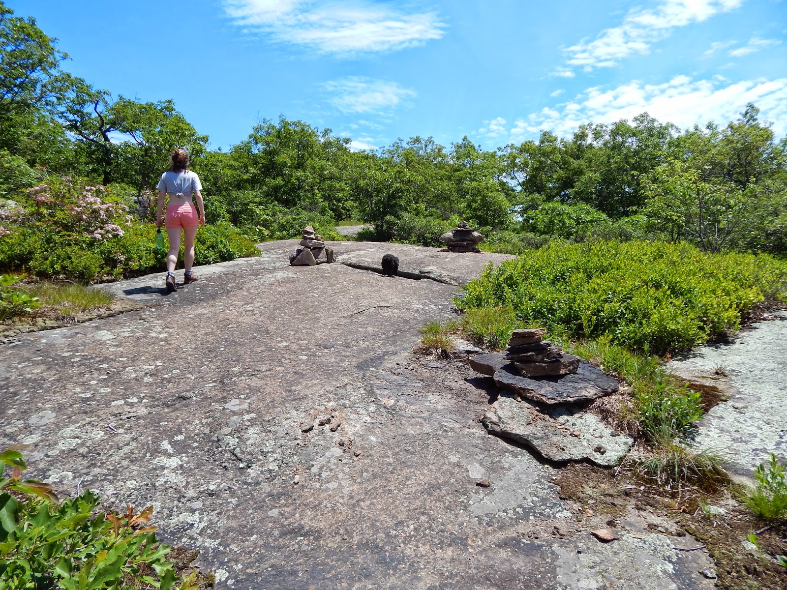
A little ways past these cairns is the Living Room! You have to look off-trail, a little to the right I l believe, so be sure to keep your eyes open so you don't miss it! I read a few accounts on the internet of people passing it, but you really shouldn't have a problem as long as you're looking.

View from the Stone Living Room, with half of the Living Room shown to the side.


The complete set of chairs.

The armchair/throne.


Nothing is forever.


Be sure to spend as much time as you want enjoying the chairs and the view. There's a fire pit here (with lots of beer bottles in it), but it's probably less-than-wise (and maybe also illegal) to build a fire. Still, this is a great place for lunch!
All that's left to do when you're done, of course, is to head back down! It's an easy descent, just watch for toe-stubbing rocks.


This could be the end of your hiking adventure, or you could do what Sara and I did and head to the Appalachian Trail. It's all over the place up here, but I headed 30 minutes to Wawayanda State Park due to my familiarity with the trail there. Parking for this particular section is on Warwick Turnpike around these GPS coordinates: N41.12054, W74.23298. There is a little more roadside parking here and it's not quite as popular, so you should be fine arriving any time of day. The AT is on both sides of the road, so make sure you're going south-bound if you plan to camp where we did. If you're coming from Bloomingdale, this will be on the left side of the road.
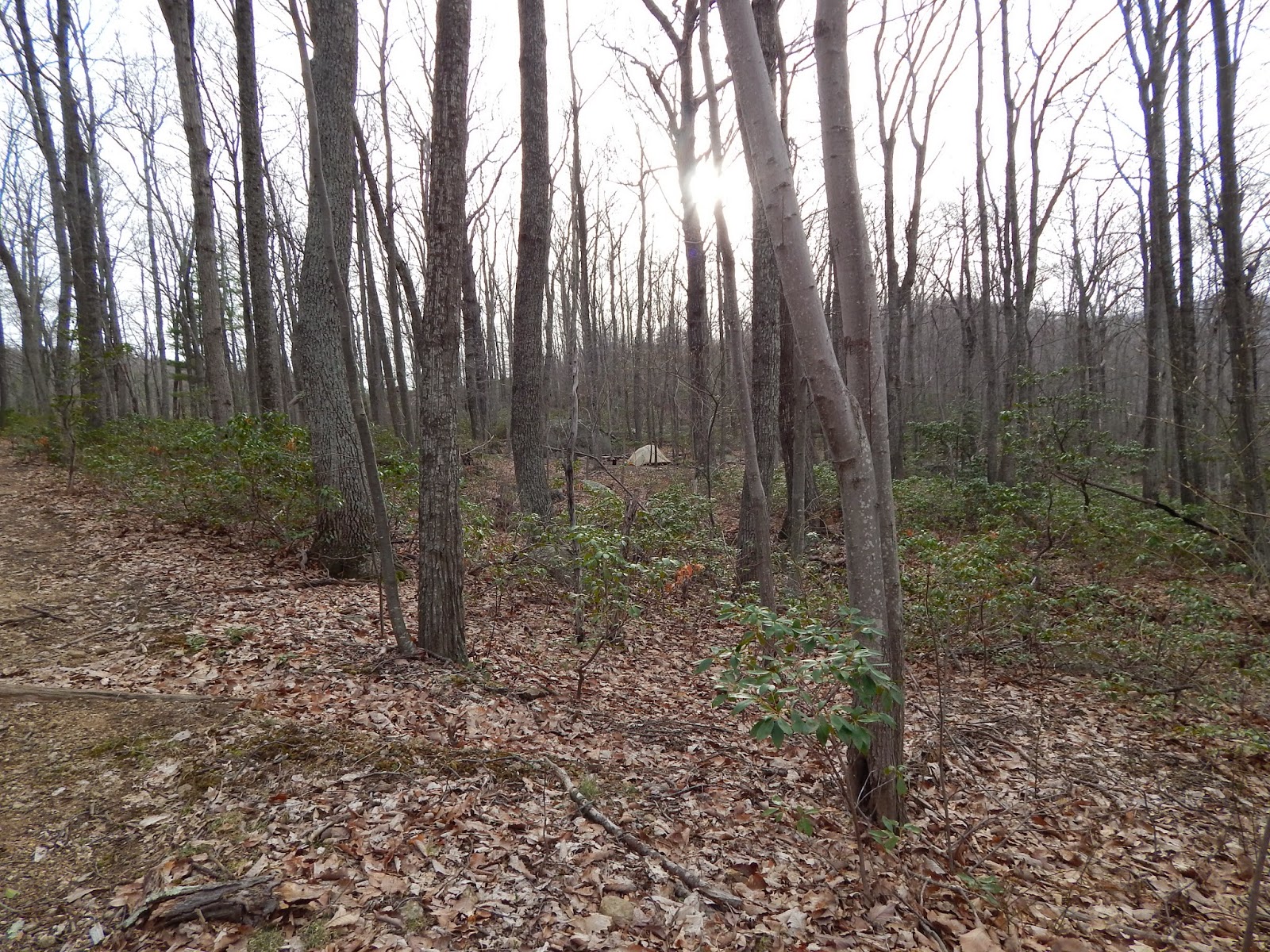
The trail starts out grassy and flat, then crosses next to Parker Lake before coming to the AT shelter in Wawayanda State Park. There are lots of places to camp here, which is another reason why I chose this location. There were some thru-hikers near the shelter, so my sister and I camped on the other side of the trail, opposite the shelter but still within walking distance of the privy (which we discovered only after we peed in the woods, conveniently). Overall it's a very nice little place to spend the night, although you can still occasionally hear cars and jets (and, on this particular night, also fireworks/gunshots?). It's super easy to get to, and you can walk a little before calling it a night and see the sights or talk to the other hikers who congregate here.

AT south-bound, right off the road.

Midday nap with the Cleo <3

The shelter is off to the right side of the trail. We passed by it at first and then noticed the blue shelter signs.

After setting up camp, we came back to look at Parker Lake.


"I'm ready to sit, Mommy."

A little after the shelter, when we stopped our evening walk and decided to go back to camp.

Summer solstice sun setting.

Salamander at camp!
And that's it! Head back in the morning and reflect on your time at an ancient(ish), sacred (not really) stone monument and your time on the trail dreams are made of. Enjoy it, and keep wandering.