Sunday, June 5, 2016

Lewis Falls

Location: Shenandoah National Park, Virginia
Season Visited: Spring
Trail Length: 2 miles there-and-back
Time to Hike: 1.5 hours
Difficulty Level: 3

Last week I went with my husband and my friend to Shenandoah to check out a waterfall I hadn't seen before: Lewis Falls.  At 81', Lewis Falls is one of the taller waterfalls in the park, and is the fourth of the big, named waterfalls that I've seen there.  The hike was enjoyable on a warm, late afternoon and was also a bit of a workout!

On this map of the Big Meadows area, you can see Lewis Falls to the left.  We parked at the lot on the left going southbound on Skyline Drive, past mile marker 51.  From there we crossed Skyline Drive to the trailhead, which begins as a gravel fire road before becoming a dirt trail.

Gravel road.

On the way is a mysterious door (probably enclosing some sort of facility for all of the human activity around Big Meadows, but which caused much more imaginative speculation amongst our party), some non-potable water (well-marked), and a steady downhill trek to the falls and views.


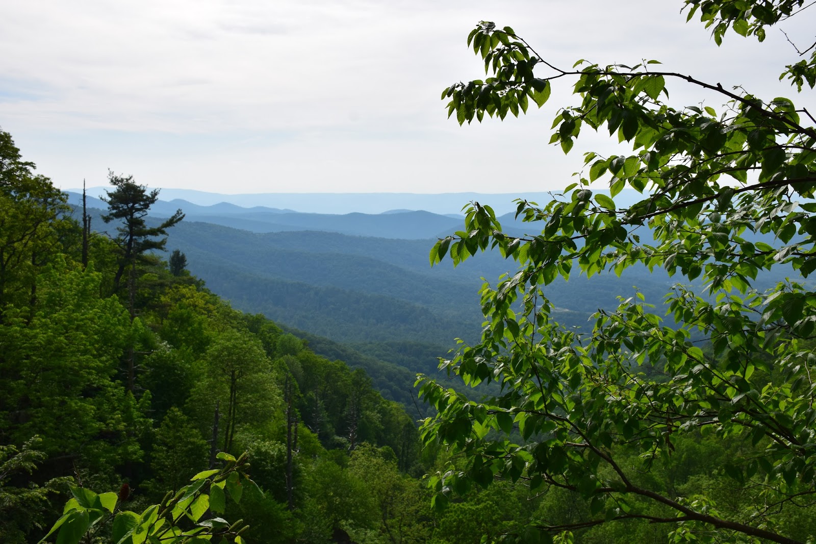


Past this lookout point is the observation deck for the falls.  It offers a very nice view, though I decided to press on a bit and head down the ridge for a different perspective.  The falls are impressive and are a lovely photo op.


The way back is simply retracing your steps, though it is a bit harder going up than coming down!  I paid special attention to the little critters on the way back up.

Voyeuristic bug-mating photo.

Little lady on the gravel road.

A waterfall is always a fun reward for a hike.  With an hour-and-a-half of work, we saw some beautiful sights.  Keep on wandering!

Saturday, May 14, 2016

Corbin Cabin and Nicholson Hollow

Location: Shenandoah National Park, Virginia
Season Visited: Fall
Trail Length: 4-mile loop (1.3 miles Day One; 2.7 miles Day Two)
Time to Hike: 2 days
Difficulty Level: 2

Early in October of last year, I set off with my husband to do a moderately easy overnight hike in Shenandoah.  This trail features a beautiful babbling brook and some old cabin ruins, as well as the still-standing Corbin Cabin from 1909.  The fall colors were really starting to shine and the weather was perfectly chilly on this lovely autumn weekend.

I followed this itinerary and used this map to get an idea of where I wanted to go.  We began our hike in the parking area just before mile marker 38, on the right-hand side of Skyline Drive, crossing the road immediately onto the Corbin Cabin Cutoff Trail.  This goes 1.3 miles down into the Hollow, ending at the Hughes River stream crossing.

The beginning of Corbin Cabin Cutoff Trail.


Debris in the way.


Cabin ruins.


Hughes River stream crossing.

The itinerary recommends turning left and finding a place to camp downstream, and there are definitely plenty of nice camping spots down there.  The rangers told me before the hike, however, that there was also some nice camping just beyond Corbin Cabin, so Sean and I continued on across the stream.  Once across, Corbin Cabin was straight ahead of us.  After checking it out, we continued on the trail that turns right after crossing the stream.  I believe this is Indian Run Trail, but it's really only a connection to the Nicholson Hollow Trail for the purposes of this hike.  Up beyond Corbin Cabin on this trail is a nice clearing where we set up camp.

Looking at Hughes River from the other side.

Corbin Cabin.  Some folks had rented it for the night.

Camp.

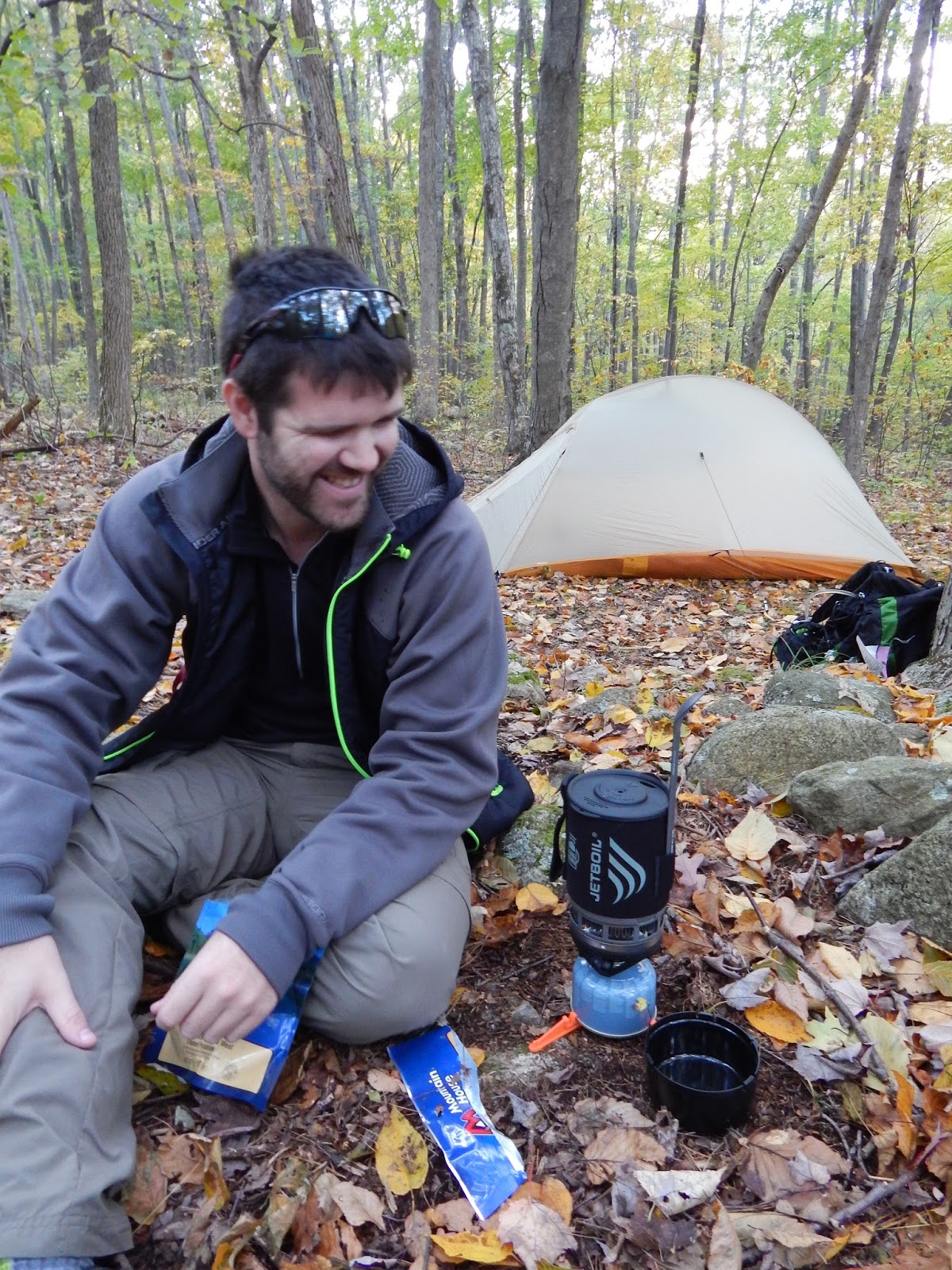
Dinner time!


Heading back down to the stream to get water for the evening.

The night spent near Corbin Cabin was relaxing and thankfully uneventful.  As fun as it is to have crazy backpacking night stories, it's nice to enjoy those rare occasions when you actually make it through an entire night without being woken up by animals, cold, storms, etc.  This night was one of the peaceful ones.

The next morning was the hike back up Nicholson Hollow Trail, which took us to Skyline Drive.  From there we took the short connecting trail to the Appalachian Trail, northbound, which led us right back to our car.

Good morning!

Another stream crossing on Day Two.


Catching mountain glimpses through the trees.


The most enjoyable part of the second day was seeing the distant mountain skyline through the turning trees.  Though somewhat uphill, the hike is not difficult.  Overall, the hike to Corbin Cabin is both peaceful and interesting.  The cabin ruins provide a reminder of Shenandoah's rich (and still, to some, controversial) human history, while the trees and streams in this designated wilderness area offer the beauty of deep woods without an overly long trek.

Enjoy the hike, and keep wandering.

Saturday, April 30, 2016

Sandy Stream Pond and Nature Trail from Roaring Brook

Location: Baxter State Park, Maine
Season Visited: Summer
Trail Length: 2 miles, estimated.  Sandy Stream Pond trail is 1 mile there-and-back, and the Nature Trail is an estimated mile loop
Time to Hike: 1.5 hours
Difficulty Level: 2

The day before making my ascent of Katahdin, I went for a little stroll around the Roaring Brook trails to see what I could find.  What I found was a lovely surprise, because viewing moose at Sandy Stream Pond ended up being one of the highlights of my trip!  I later learned that this is one of the most popular moose-viewing places in the state of Maine, and it's no wonder.  I was out in the middle of the day and saw two moose enjoying themselves amongst the scenery.  I added the Nature Trail after my time at Sandy Stream Pond because I just didn't want to stop walking.

The same map I used as a casual reference for Katahdin is the one I used here.

To start, I found the entrance to the Sandy Stream Pond trail past this plaque.

"Man is born to die, his works are short-lived.
Buildings crumble, monuments decay, wealth vanishes
But Katahdin in all its glory forever shall remain
The mountain of the people of Maine."

The trail is wooden boards on muddy ground, leading to the pond.


A short, easy walk across these boards takes you to the beautiful Sandy Stream Pond!

That brown thing in the lower right?  Yeah, at first I thought that was a rock...

I couldn't tell if I was more excited about the view or the moose!  Either way, the pond is gorgeous and I really hope to make it back some time.


Baby moose out!

After spending some quality time with the view, I decided it was time to move on to the Nature Trail.  I simply backtracked down Sandy Stream Pond and turned left on to the Nature Trail at the end.  The trail here is much more overgrown, and I didn't see any other people.  I love how much more adventurous even the easiest hikes in Maine feel.  There's something about the wildness of it that you just don't get around New Jersey!  Some of the trail is boards and some is dirt that snakes through the woods, but the goal is to make it to the grassy clearing that offers a panoramic view of the wilderness.


Panorama of the clearing.


Overall, both trails are very enjoyable and give a glimpse into Baxter beyond Katahdin.  Sandy Stream Pond offers a grand view and the Nature Trail offers solitude.  No matter where I hike in Maine, I always seem to enjoy it.

Keep on wandering.